Monday, November 26, 2012


Buy my calendar please! My 2013 Landscapes & Wildlife Calendar is now available for purchase at www.pauldiming.com . Just click on the Calendar option. The calendar costs $35 including tax and free shipping! Please allow 10 business days to print and ship.

I will be using the proceeds of this calendar to purchase a 500mm lens for wildlife photography. Right now, I am limited at 300mm. Please help me improve my photography! Thank you!

Saturday, September 8, 2012

Love Botany Bay!

Really enjoyed my tour of Botany Bay Wildlife Management Area!  While Chris and Pam enjoyed the beach, I ventured off to explore Botany Bay.  It is composed of Bleak and Sea Cloud Plantations.  An amazing place to view wildlife, explore a truly natural beach and to see an environment of farmland, woodlands, marsh and beach.

Packing up to leave for home.  We have enjoyed our week here on Edisto Island, SC.  I hope to come back someday.

Canopy of Spanish Moss draped over Live Oaks

Beautifully natural beach at Botany Bay WMA

Large, intact shells are everywhere!  But not for the taking 8^)

Trail through a hammock island between marsh and the beach.

One of the many ponds built to attract wildlife.

Friday, September 7, 2012

Beaufort: What a gem!

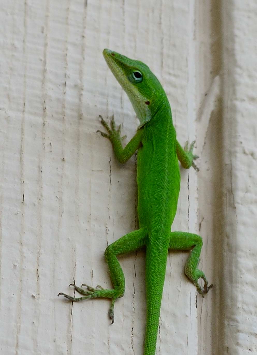
Pam and I spent the day exploring the Beaufort, SC area yesterday.  While it is less than 10 miles from Edisto as the crow flies, it took 1.5 hours to get there!  Nevertheless, Beaufort is a small town worth visiting!  We arrived at the Beaufort Visitor's Center which is housed in the Beaufort Museum which in turn is housed in the Beaufort Armory.  Neat place!  Very helpful folks work there.

It was time for lunch, so we enjoyed lunch at one of several restaurants on Beaufort's waterfront, "Plum's."  Good food.  Enjoyed some clam and lobster bisque and a corned beef sandwich with some Belgian draft.

After lunch, we explored historic Beaufort for a while, then headed to the heart of the Lowcountry.  We enjoyed a visit to Fort Fremont, a fort built during the period of the Spanish American War.  I managed to get some shots before the mosquitoes chased me to our car.

Spent some time in Hunting Island State Park.  Lovely place!  Features a great Hunting Island Lighthouse, several trails, ponds and camping.

Picked up some great BBQ at Po Pigs on the way home.  Awesome stuff with the spicy vinegar based sauce as well as the spicy mustard based sauce typical of SC.

Plums Restaurant: Where we had lunch.  Great place for sandwiches.  Sat outside on the porch.

Fort Fremont - built during the Spanish American War is open to the public.  It is in good shape!

Hunting Island State Park  - Fountain in a pond near the visitor's center.

Beach @ Hunting Island State Park

Talking to her friends and enjoying the beach on Hunting Island.

Hunting Island Lighthouse


Wednesday, September 5, 2012

Scenic Edisto

We spent the day following SC Highway 174 through Edisto Island, stopping to photograph scenes along the way.  It was a hot and humid day!  But we did stop to relax and cool off occasionally.  We enjoyed some really great barbeque pork at Po Pigs BBQ, South Carolina style!  Lots of different sauces to try.  Loved the vinegar style so reminiscent of NC BBQ.  But also enjoyed the mustard based sauce which is more typical of SC.

Later in the day, we indulged in some shopping therapy by hitting the Edistonian gift shops.  Picked up some local books and a present for my Mom.

We also stopped at a sweetgrass basket stand run by some fine folks of Gullah decent.  Talked to them for a while.  Very cool folks!  They trace their ancestry to Angola.  Six generations of their family have been weaving baskets.

McKinley Washington, Jr. Bridge marks the beginning of Edisto Island.  This photo was taken from Dawhoo Landing, just past the bridge.  Part of the old bridge was preserved as a fishing pier.

Edisto Island Museum is well worth a visit.  Pam and Chris were not convinced until we were inside 8^)

Pam found a beautiful bread basket made by a Gullah family who have been weaving baskets for six generations.  We talked to the lady on the left of this photo.  Her Mom and dad were behind the stand.  She explained how they make their baskets and gladly answered my questions about her family's heritage.

SC 174 is often covered by a canopy of Live Oaks covered with Spanish Moss.  Very beautiful and much cooler to drive through.

There are many VERY old churches on SC 174 including Trinity Episcopal Church shown here.

I just loved strolling through the cemetery adjacent to Trinity Episcopal with its huge Live Oaks.

This is the Mystery Tree is decorated by a local anonymous artist who changes the decorations in keeping with the seasons.  This looks like a back to school theme 8^)

Scenic Trail - Edisto Island State Park

Really enjoyed the Edisto Island Interpretive Center.  Great place to learn about the ACE Basin environment and wildlife.  The Ashepoo, Combahee and Edisto rivers meet to form the estuary, so important to the health of our oceans and the fishing industries.

Walked three scenic trails near the center.  One went to a dock in the marsh.  Another took us to the Bache Memorial which is really a highly accurate baseline marker installed by a surveyor called Alexander Bache.  He surveyed the US coast line using triangulation and a small number of baselines.

Our last hike took us to the Spanish Mount mound created by Native Americans in the area.  It is composed mostly of oyster shells, but also contains pottery.

Edisto Island Interpretive Center

Spanish Moss Hanging On Live Oaks

Spanish Mount Indian Mound

Kayaking Fisherman

Monday, September 3, 2012

Edisto & Kiawah Islands

Spent the morning on the beach.  Nice breeze kept it from getting hot.  The beach is narrow here.  The sand is darker and a bit more course than the white fine sand of the Gulf Coast.  But typical of the Carolinas.

In the afternoon, we drove over to Kiawah to see our friends Susan & Trey.  Nice drive through the Lowcountry.  It is only 12 miles from Edisto as the crow flies, but 53 miles by car!  The rivers, marshes, estuaries cut through most of the area in this part of South Carolina.  A shortage of bridges makes travel from one beach to another a matter of driving inland before one can find a bridge across to the next peninsula or island.  We enjoyed our visit and dinner overlooking a gulf coast with the Atlantic Ocean right behind the green.  Really pretty place!

Love the swirling fronds of this Palm adjacent to our rental.

Good Morning Monday!

Headed out to to the beach this morning.  It feels much cooler than yesterday!  After lunch, the plan is to head to Johns Island, north of here to visit the Ravenel Caw Caw Interpretive Center and to visit with our friends Susan and Trey near Kiawah.  Should be a great day!

Beach Walk

Had a great time at the beach today!  Went for a walk on the beach with Pam and Chris.  Took some shots along the way.  Came back to the house for lunch.  Hit the Piggly Wig for necessities like real beer (Palmetto Amber).  Picked up some shrimp for salad tomorrow.  Enjoyed an awesome seafood dinner at The Dockside Restaurant.

Chris Walking

Loved the colors

Dune Fencing

Looking For Buried Treasure

Fisherman

Classic Castle

Neat House

Really cool Carolina anole (Anolis carolinensis)

Sunday, September 2, 2012

Man is it Hot & Humid!

It is 12:30 am and 86.6F.  That's not a bad temperature.  But couple that with really high humidity yields a heat index of 100F!  We just came back from a walk on the beach, dripping with sweat...  Sorry for that visual!

Anyway, the beach is nice.  Lots of nice beach homes that are not palaces.  Many older places with tons of character mixed in with newer designs that look great to live in.  Lots of windows, porches, decks.

Lots of families here today.  I assume that will change on Tuesday.  But really not that many people.

I bought Yuengling Light by accident 8^(  We're going to have to hit the Piggly Wiggly for some real beer!

Besides the beach, we will be taking a few tours I mapped out of the nearby areas of the island.

Saturday, September 1, 2012

We made it! Alive too!

We made it to Edisto Island in about 8 hours.  It as a long day!  Thanks to our son Chris for driving the second half of the 450 miles south from Richmond.  After unpacking the car, we could barely move.  But I managed to grab a couple of snapshots from the deck of our rental.


Thursday, August 23, 2012

Where is Edisto Island?

It is located south of Charleston and north of Savanna.  Here is a regional map to show Edisto's location compared with other popular beaches in the region.


Click on the image to enlarge!

Our Next Adventure: Edisto Island, SC!

Our next adventure takes to Edisto Island, exploring the region known as the Lowcountry of South Carolina.  We'll be in the area for a week.  I hope to post daily updates and photographs of what we see.

Here is a map showing the general location of Edisto Island versus our home here in metropolitan Midlothian, Virginia:


Click on the image to enlarge!

Friday, May 11, 2012

3,498 Miles!

That's how far we drove during our Florida adventure.  How do I know?  I really should have recorded our odometer reading before leaving.  Now that is the ultimate low tech answer to the question!  Instead, I used our GPS tracks.  Here's the weird part: I budgeted 3,500 miles!  How did I do that?  I'm afraid I am a big time planner.  Just can't help it.  So I plotted out our journey before we left.  Added up all the route totals, then rounded the total up to 3,500.  Amazing!

Here's a map of where we went during out journey:


Home at Last!

We really did make it back to Virginia!  We arrived home on Monday evening after an 11.5 hour drive from Jacksonville.  A wreck on I-295 around Jacksonville forced us to take a detour that cost about 30 minutes.  Then we ran into another wreck on I-95 near South of the Border.  So guess what?  We visited Pedro!  The detour took us right through Pedro Land.  But no, we didn't stop.

I'm in the process of loading all my photos, thousands of them, to my imaging computer.  So I will be posting more pics once I have loaded them all and can begin to organize and edit them.  So hang on!  More to come.

Before we headed home we took some time to see some other sites.  You can see my photos of these areas here:

Final St. George Island pics: http://www.flickr.com/photos/pauldiming/sets/72157630879131776/

Apalachicola: http://www.flickr.com/photos/pauldiming/sets/72157630994999956/

Crooked River Lighthouse, Indian Mound and Monticello Courthouse: http://www.flickr.com/photos/pauldiming/sets/72157631105831506/

St. Augustine: http://www.flickr.com/photos/pauldiming/sets/72157631135855826/


Friday, May 4, 2012

Cape San Blas Lighthouse

Florida's long shoreline is protected by several historic lighthouses.  We drove out to Cape San Blas to see the lighthouse there.  The current Cape San Blas Lighthouse is the FOURTH lighthouse to be built there.  The first three fell victim to the encroaching sea and to hurricanes.  The current tower is built of iron.  It really is a narrow , tall hollow cylinder with a staircase inside.  The light is positioned in a chamber on top of the cylinder.  Iron beams support the cylinder and light.

Cape San Blas Lighthouse

One of Two Keeper's Quarters

Living Room Inside the Keeper's Quarters

You can see more of my photos of San Blas Lighthouse here: http://www.flickr.com/photos/pauldiming/sets/72157630839153100/

Ulee's Gold

The movie Ulee's Gold was filmed on the water and in the forests of the lower Apalachicola River.  The Apalachicola Wildlife and Environmental Area (WEA) protects much of the floodplain forests.  After escaping from Tate's Hell, we took the back roads to the WEA to see the river from a tower and boardwalk.  It was a quiet, peaceful and beautiful place.

Boardwalk out to the Apalachicola River

Cyprus Lined River

Cool Tower

You can see more of my photos of the Apalachicola WEA here: http://www.flickr.com/photos/pauldiming/sets/72157630824946088/

Tate's Hell

In 1875, Cebe Tate entered the swamp between Carabelle and Apalachicola with his dogs in search of a panther that had been killing his livestock.  When deep inside the swamp, Cebe became lost in the swamp for seven days and nights.  On the last stay, he stumbled into a clearing near Carabelle.  He lived long enough to mutter the words: "My name is Cebe Tate and I just came from Hell!"

Wednesday, Pam and I entered that same swamp now known as Tate's Hell State Forest in search of a stand of dwarf Cypress trees.  The trees are documented to be over 150 years old.  However, their height at maturity is only 15 feet.  We too became mostly lost.  That is because I followed our GPS!  It tried to take us on a "short cut."  Once we came to a dead end, I jumped out for a short recon.  A large field, covered in heavy undergrowth was between us and the dwarf Cypress.  Meanwhile the noseeums and yellow flies were eating me alive.  So we backtracked until we were back on the tried and true route.  We now understand why Cebe Tate called this place Hell!

Here we are back on the tried and true route through Tate's Hell.

Water Lilly in Bloom

Dwarf Cypress

Boardwalk through the treetops.


You can see more of my photos of Tate's Hell here: http://www.flickr.com/photos/pauldiming/sets/72157630811300000/

St. George State Park Beaches & Trails

It was overcast Wednesday, so we took some time to explore the state park at the eastern tip of St. George Island.  It is a beautiful place with great beaches and white sand.  The interior features sand dunes, forests and ponds.

The Gulf of Mexico is Warm & Inviting

Beach Morning Glories Were Plentiful

Dune

One of two large beaches.  In addition, there are several access points without facilities.

Cypress grows well on the island and on the mainland.

Wooded Interior

Oysterman's Skiff.  These are still used today to harvest oysters from Apalachicola Bay.

You can see more photos of St. George Island State Park here: http://www.flickr.com/photos/pauldiming/sets/72157630629867556/